Juxta
Mapping the invisible corners of the Earth through a Universal Positioning System.
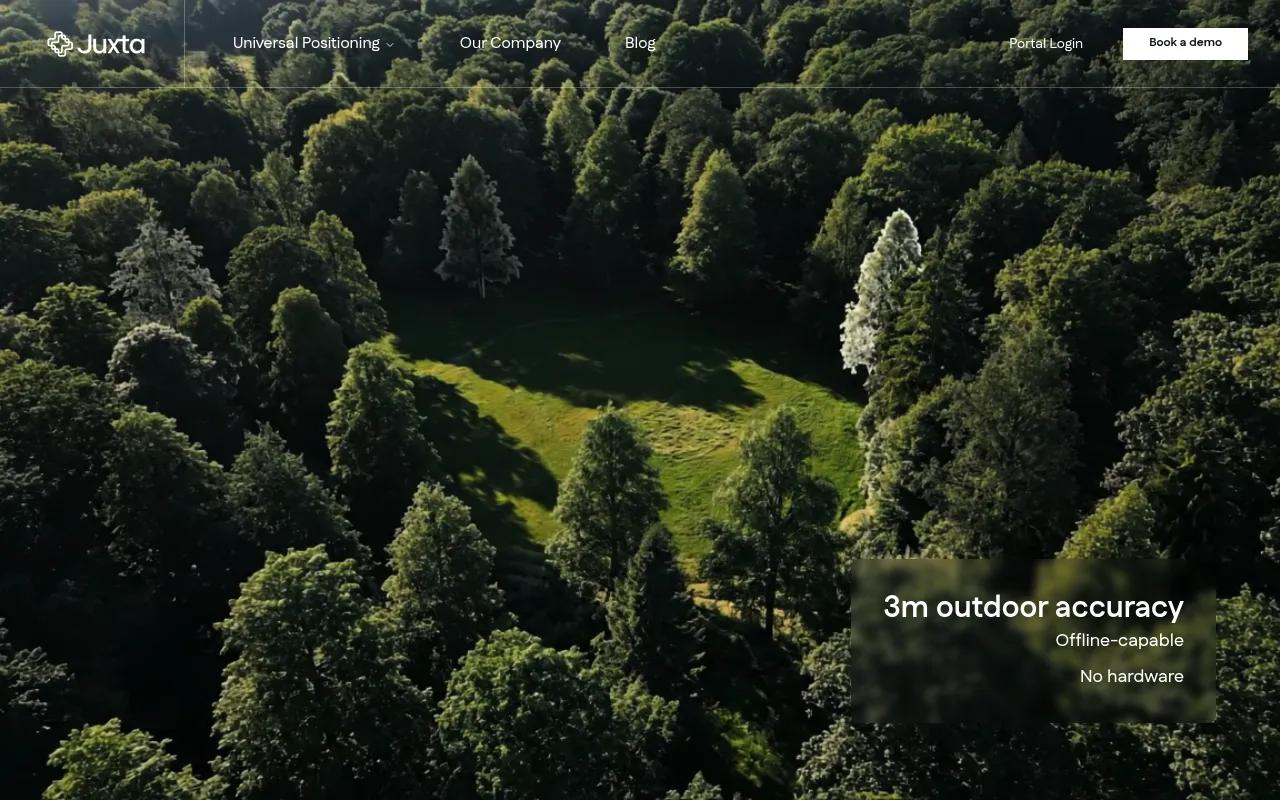
Juxta is a Universal Positioning System that enables indoor and outdoor tracking and navigation with high accuracy — 3 meters outdoors and under 1 meter indoors. Users upload a floorplan, satellite image, or CAD file, and Juxta's ML-powered backend converts it into a trackable environment deployable within hours. The platform allows real-time monitoring of personnel and assets with a pay-per-area and pay-per-asset pricing model.
Users upload a floorplan or satellite image, Juxta's ML polygonizes it into a trackable virtual map, and the system goes live within hours for real-time tracking via a web dashboard or software package.
Facility managers, logistics operators, and enterprises needing indoor and outdoor asset or personnel tracking
Background.
- Status
- launched
- Business model
- subscription
Similar projects.
Editorial take on the space this project sits in — momentum signals, adjacent moves, our call on whether the wedge is real. Get pinged when we publish a new read or when the landscape shifts.
Have a take on this space?
Tell us what you’d build differently, where you think the incumbents miss, or what we’ve gotten wrong about this project. Comments + reactions are coming soon.