OsmAnd
Offline Mobile Maps & Navigation
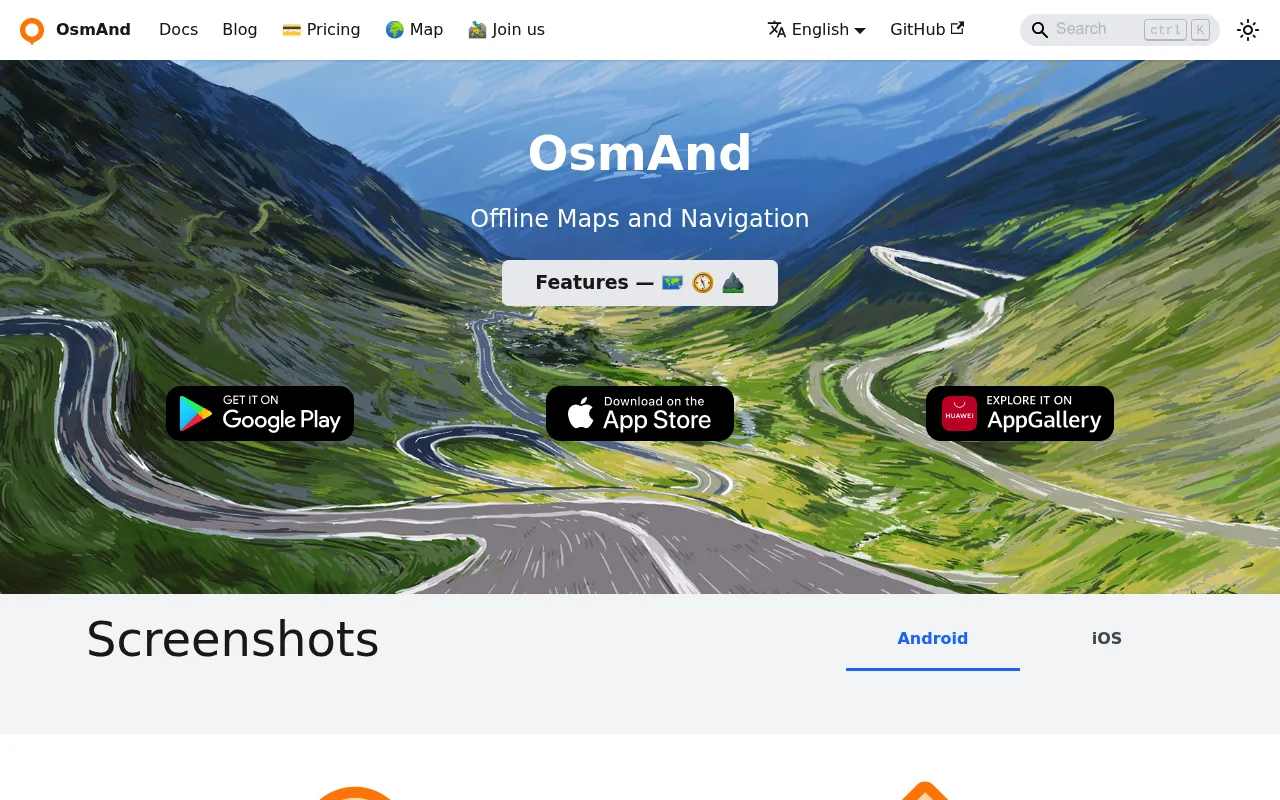
OsmAnd is an open-source mobile navigation and mapping app that works fully offline using OpenStreetMap data. It offers turn-by-turn voice navigation, bicycle and pedestrian routing, GPX track recording, and detailed POI layers including Wikipedia entries. The app emphasizes user privacy by not collecting data and processing all routes locally on-device.
OsmAnd downloads compact offline vector maps from OpenStreetMap to the user's device, then performs all routing and navigation computations locally without requiring a data connection.
Outdoor enthusiasts, cyclists, hikers, motorcyclists, and privacy-conscious travelers
Background.
- Status
- launched
- Business model
- freemium
Similar projects.
Editorial take on the space this project sits in — momentum signals, adjacent moves, our call on whether the wedge is real. Get pinged when we publish a new read or when the landscape shifts.
Have a take on this space?
Tell us what you’d build differently, where you think the incumbents miss, or what we’ve gotten wrong about this project. Comments + reactions are coming soon.