Skyty
Your flight, tracked offline. No WiFi, no data, no subscriptions.
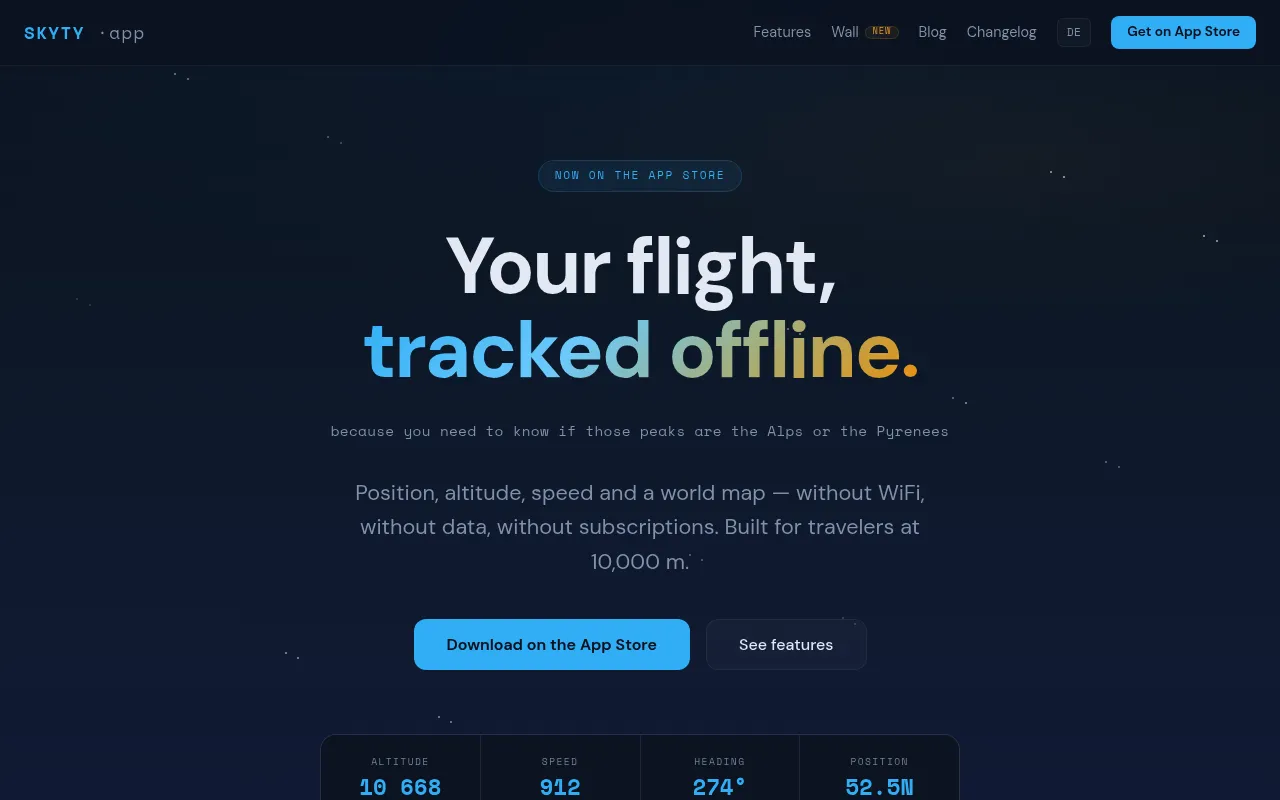
Skyty is an iOS app that tracks your real-time position, altitude, speed, and route during flights entirely offline using GPS. It bundles a full vector world map, NASA terrain data for altitude above ground, flight recording with GPX export, and a landmark spotter — all without requiring WiFi, a data connection, or a subscription. It also supports Apple Watch, Live Activity, and Dynamic Island.
The app uses the device's GPS hardware combined with a bundled offline vector world map and NASA SRTM terrain data to compute and display flight data entirely on-device with no internet connection required.
Travelers and passengers flying on commercial or private flights
Background.
- Status
- launched
- Business model
- one-time
Contact
Similar projects.
Editorial take on the space this project sits in — momentum signals, adjacent moves, our call on whether the wedge is real. Get pinged when we publish a new read or when the landscape shifts.
Have a take on this space?
Tell us what you’d build differently, where you think the incumbents miss, or what we’ve gotten wrong about this project. Comments + reactions are coming soon.