Felt
Cloud-native GIS software built for speed, simplicity, and collaboration
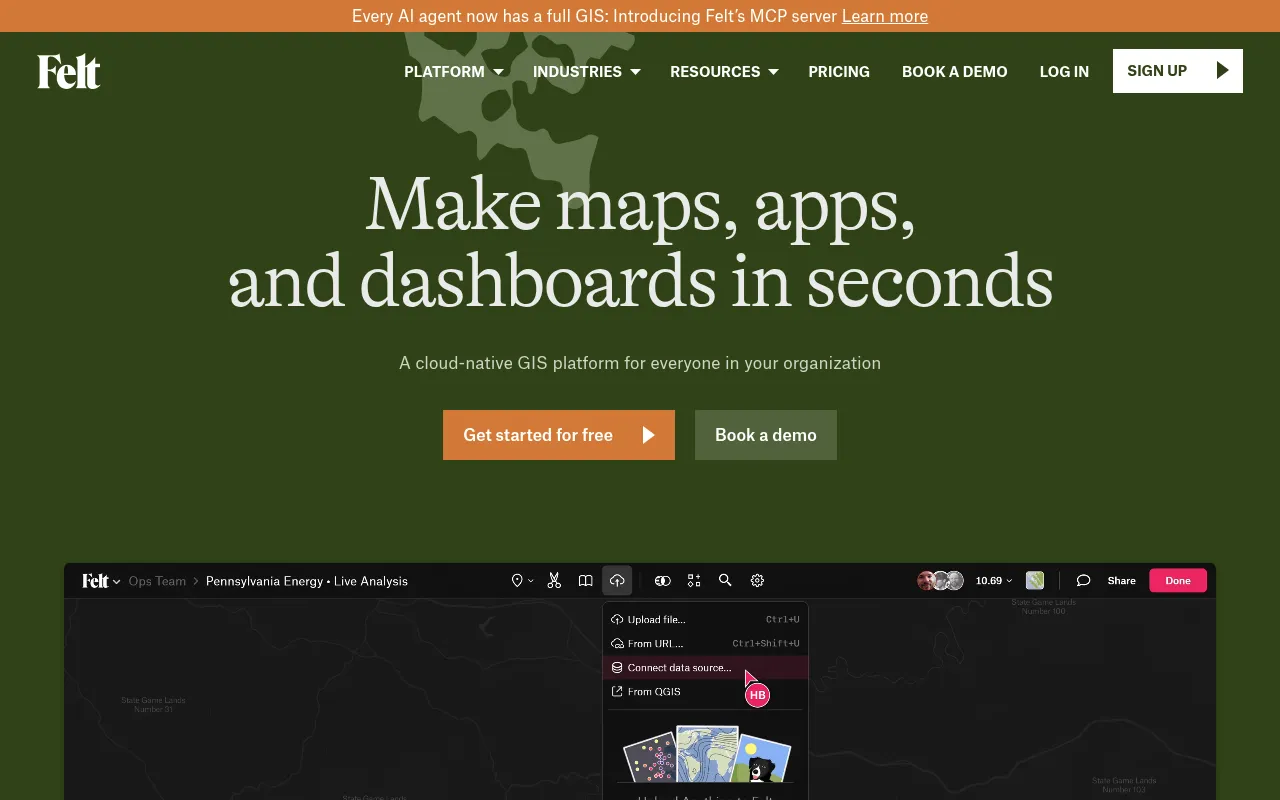
Felt is a cloud-native GIS and online mapping platform that lets teams build maps, apps, and dashboards without complex data wrangling. It supports drag-and-drop uploads of any geospatial file format, integrates with major cloud databases like Snowflake and Postgres, and offers dashboards for geospatial BI. The platform also provides a Python SDK, QGIS plug-in, and collaboration features including fine-grained permission controls.
Users upload any geospatial file or connect cloud databases, and Felt automatically geocodes, styles, and visualizes the data on a collaborative map with dashboards and sharing controls.
GIS professionals, data analysts, and teams needing geospatial mapping and dashboards
Background.
- Status
- launched
- Business model
- freemium
- Company
- Felt Maps Inc.
Similar projects.
Editorial take on the space this project sits in — momentum signals, adjacent moves, our call on whether the wedge is real. Get pinged when we publish a new read or when the landscape shifts.
Have a take on this space?
Tell us what you’d build differently, where you think the incumbents miss, or what we’ve gotten wrong about this project. Comments + reactions are coming soon.