MapTiler
Visual tools, global data, SDK & APIs for web, mobile, and enterprise applications.
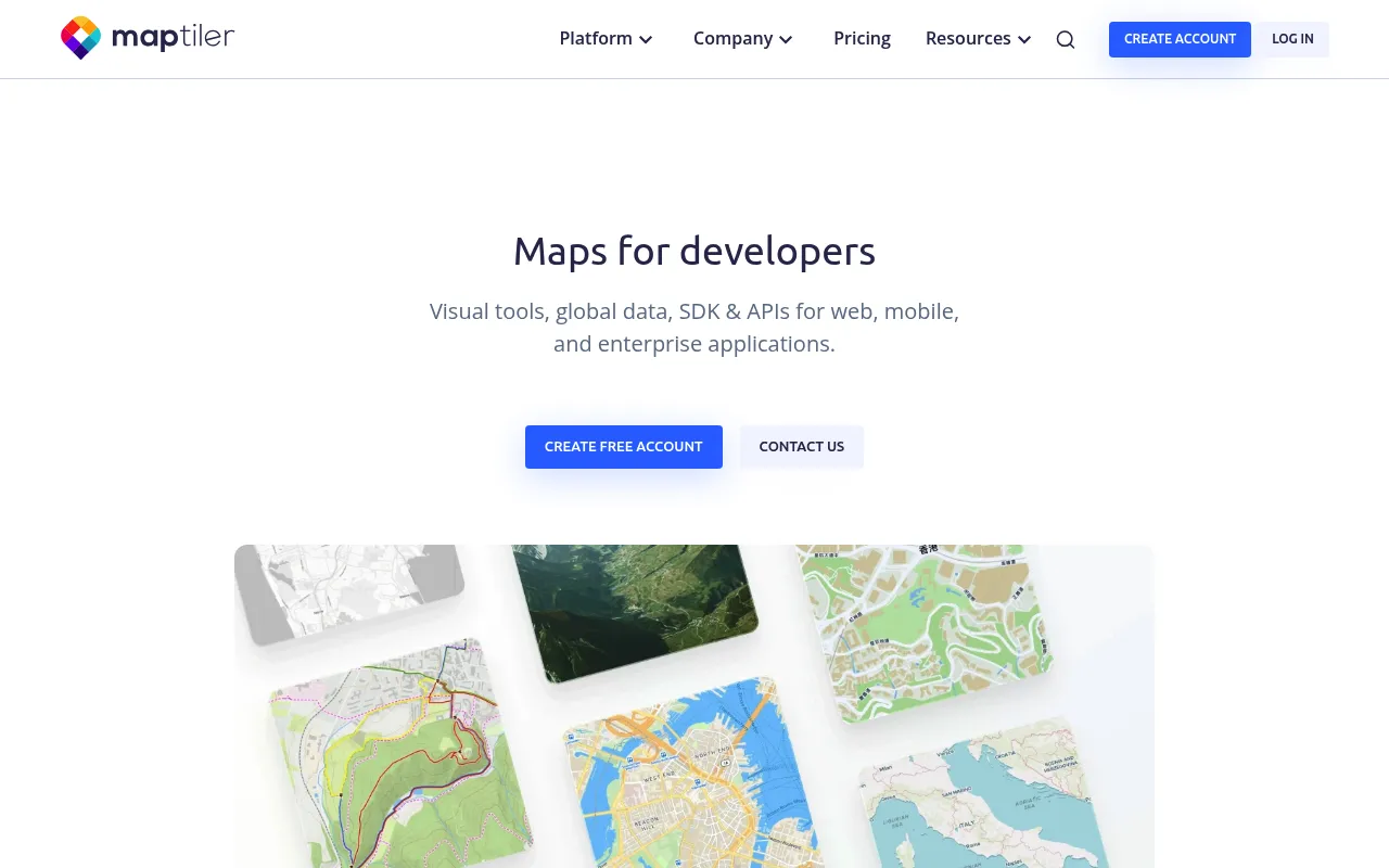
MapTiler is a mapping platform aimed at developers, providing ready-to-use map styles, a TypeScript SDK, and APIs for building interactive maps in web and mobile applications. It offers tools for geocoding, location intelligence, weather layers, and uploading geodata in formats like GeoJSON, KML, and TIFF. The platform supports both cloud-hosted and on-premises deployments for enterprise use cases.
Developers use MapTiler's SDK, APIs, and cloud or on-prem services to integrate map styles, geocoding, and data visualizations into their applications.
software developers and enterprise teams building mapping applications
Background.
- Status
- launched
- Business model
- freemium
- Company
- MapTiler
Similar projects.
Editorial take on the space this project sits in — momentum signals, adjacent moves, our call on whether the wedge is real. Get pinged when we publish a new read or when the landscape shifts.
Have a take on this space?
Tell us what you’d build differently, where you think the incumbents miss, or what we’ve gotten wrong about this project. Comments + reactions are coming soon.