Planet
Don't just capture change. Act on it.
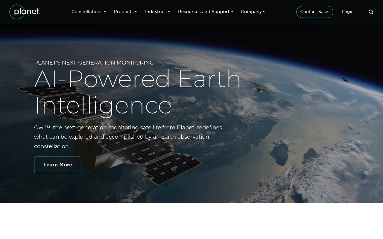
Planet Labs operates a constellation of satellites that capture daily, high-resolution imagery of the entire Earth. Their platform provides governments and enterprises with satellite imagery, geospatial analytics, and AI-powered insights to monitor environmental and operational changes in near real-time. They offer developer APIs, SDKs, and a cloud-native platform for integrating Earth observation data into custom workflows.
Planet operates a large constellation of satellites capturing daily global imagery, which is made accessible through a cloud-native platform with APIs, analytics tools, and AI-powered insights.
Governments, enterprises, and developers needing daily satellite imagery and geospatial analytics
Background.
- Status
- launched
- Business model
- subscription
- Company
- Planet Labs PBC
Similar projects.
Editorial take on the space this project sits in — momentum signals, adjacent moves, our call on whether the wedge is real. Get pinged when we publish a new read or when the landscape shifts.
Have a take on this space?
Tell us what you’d build differently, where you think the incumbents miss, or what we’ve gotten wrong about this project. Comments + reactions are coming soon.