Wyvern
Beyond vision. Into spectral intelligence.
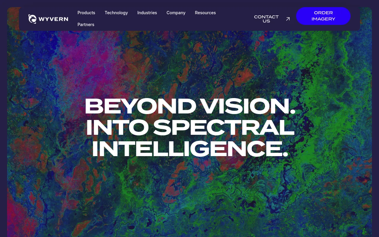
Wyvern provides commercial hyperspectral satellite imaging and Earth observation data. Their constellation of satellites captures high-resolution, research-grade imagery across 31 spectral bands, enabling precise material identification and environmental monitoring. Industries use this data to reduce risk, optimize resources, and address complex challenges.
Wyvern operates a constellation of commercial hyperspectral satellites that capture 31-band VNIR imagery at 5.3-metre ground sampling distance, with research-grade calibration and atmospheric correction available via flexible tasking.
Industries and researchers needing high-resolution Earth observation data, including agriculture, energy, and environmental sectors
Background.
- Status
- launched
- Business model
- unknown
- Company
- Wyvern
- Launched
- 2023
Similar projects.
Editorial take on the space this project sits in — momentum signals, adjacent moves, our call on whether the wedge is real. Get pinged when we publish a new read or when the landscape shifts.
Have a take on this space?
Tell us what you’d build differently, where you think the incumbents miss, or what we’ve gotten wrong about this project. Comments + reactions are coming soon.