trailmaps.app
Mountain bike trail maps that match the signs on the trail
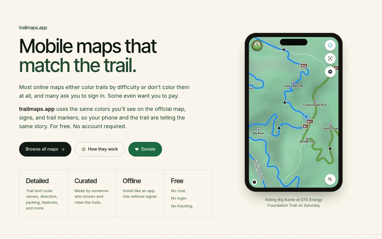
trailmaps.app provides curated, offline-capable mountain bike trail maps styled to match the official colors, signs, and markers found at each trail system. Maps are built from OpenStreetMap data, require no account or login, and can be installed as a Progressive Web App for offline use. The project is created and maintained by a single individual who personally rides and reviews each trail.
Maps are built from OpenStreetMap data, styled to match each park's official trail colors and markers, and served as installable Progressive Web Apps with offline support
Mountain bikers looking for accurate, offline-ready trail maps
Background.
- Status
- launched
- Business model
- free
Founders
- Stevesite
Similar projects.
Editorial take on the space this project sits in — momentum signals, adjacent moves, our call on whether the wedge is real. Get pinged when we publish a new read or when the landscape shifts.
Have a take on this space?
Tell us what you’d build differently, where you think the incumbents miss, or what we’ve gotten wrong about this project. Comments + reactions are coming soon.